Category: Hiking Meditations
January Winter Hike Meditation
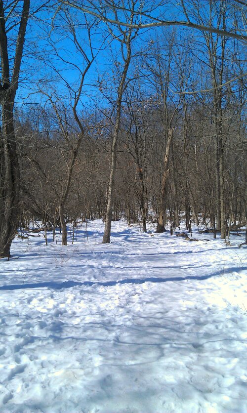
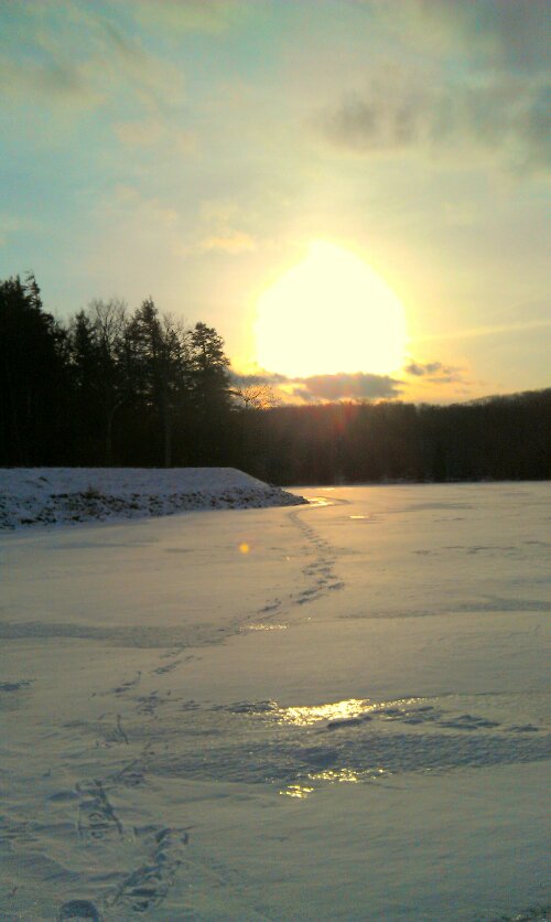
Nature Journal: New Year’s Day Snowshoeing
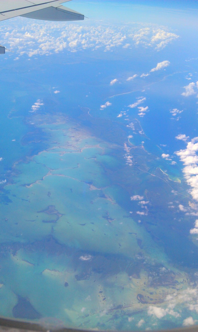
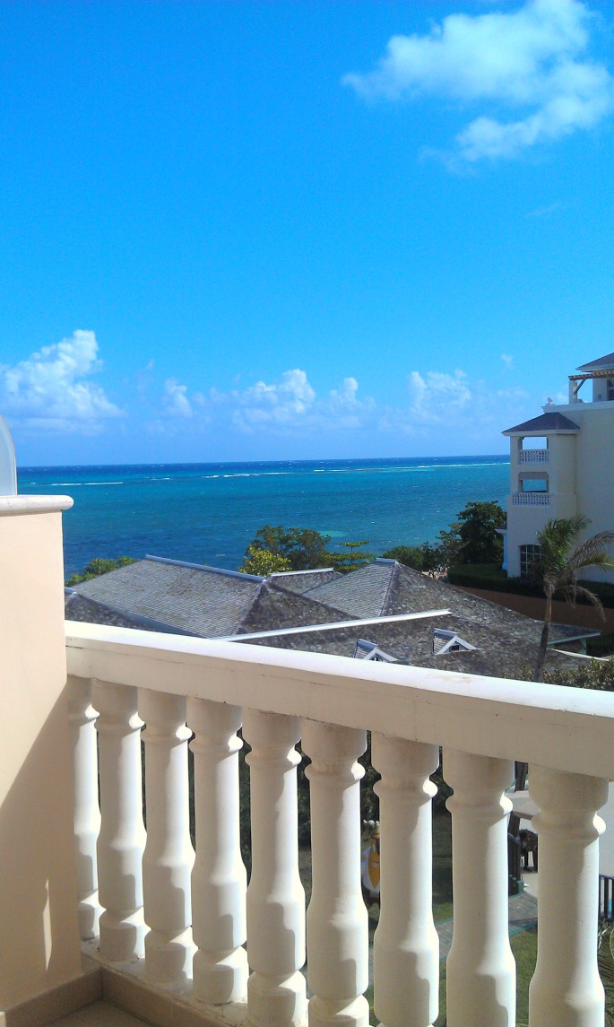
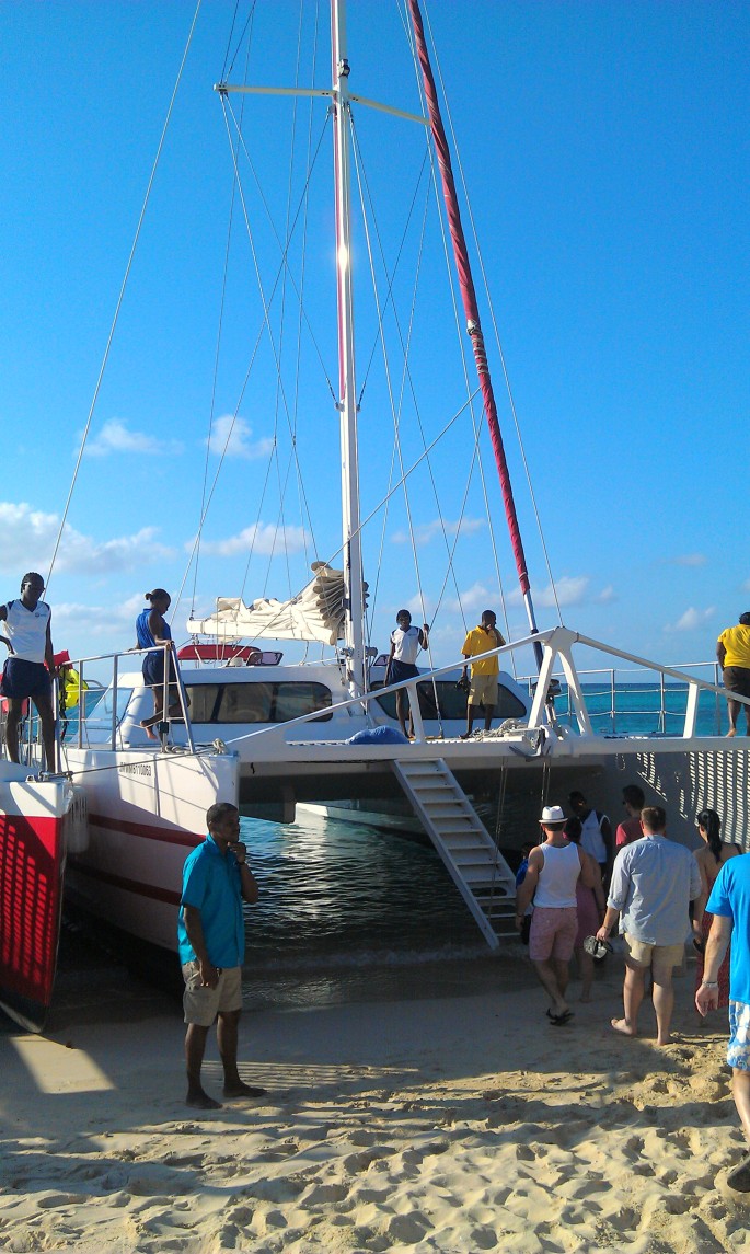
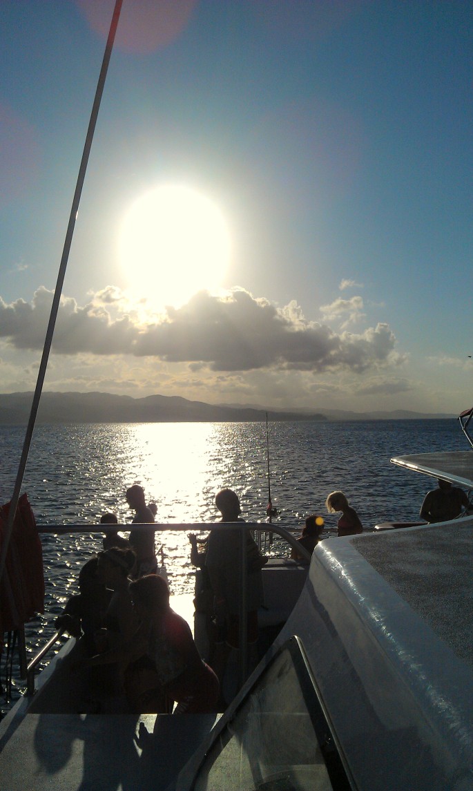
Jamaica Day-1 Photo Meditation
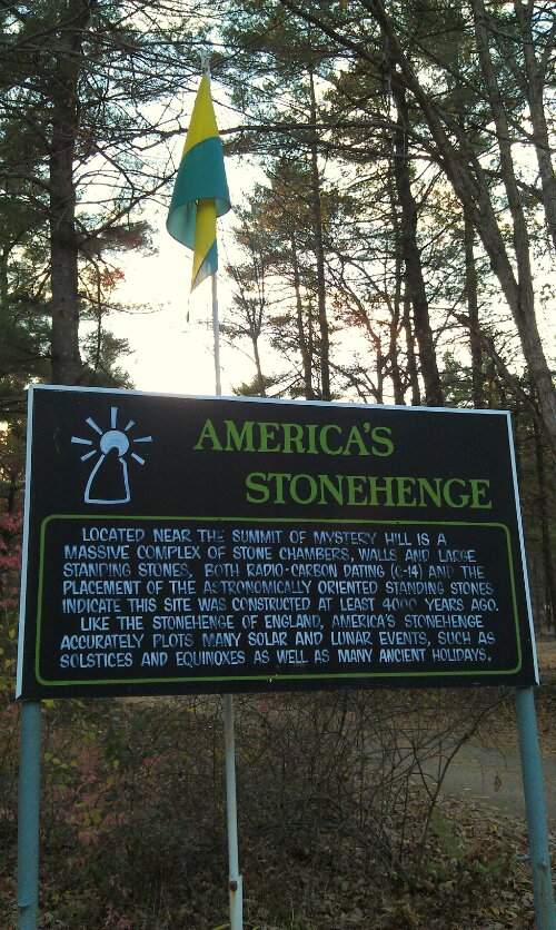
Hiking Meditation at America’s Stonehenge
Yesterday, my partner and I drove 134 miles east to America’s Stonehenge.
“Built by a Native American culture or migrant European population? No one knows for sure. A maze of man-made chambers, walls, and ceremonial meeting places, at over 4,000 years old America’s Stonehenge is likely the oldest man-made construction in the United States.”
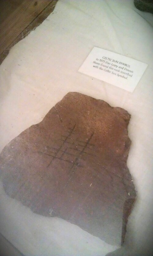
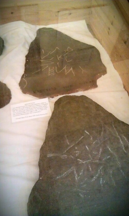
After perusing the artefacts in the main hall, we watched an informational introduction video to the site, which although corney, was very very technical and curious. I am a big fan of the History channel’s “America Unearthed,” so this was my kind of thing.
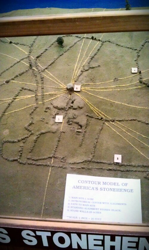
Here is a map of the entire complex:
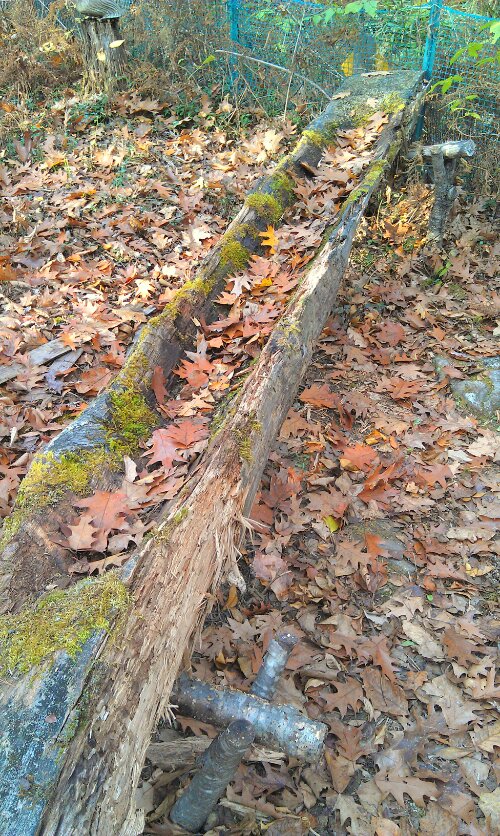
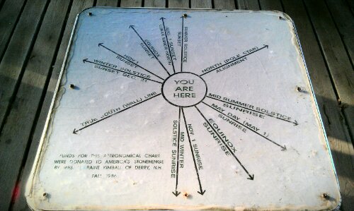
As we walked out, there was a cute sundial and places for children to learn about archeology, and many native practices of living; from building wigwams to dug-out canoes.
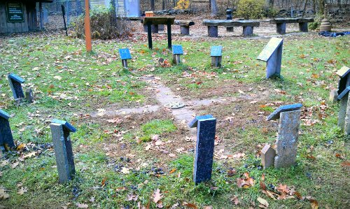
And then we entered the site. The earliest evidence of man at America’s Stonehenge is about 7400 years ago, obtained from carbon dated fragments of a fire pit. But the stones themselves are thought to have been placed around 4000 years ago.
Although…it could be much older. You can’t carbon date rock, only the organic material and artefacts around them.
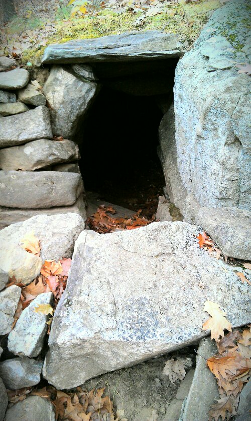
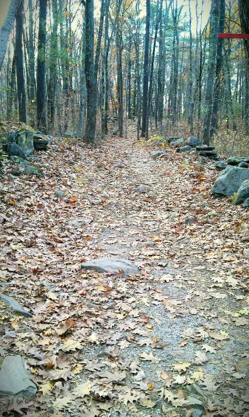
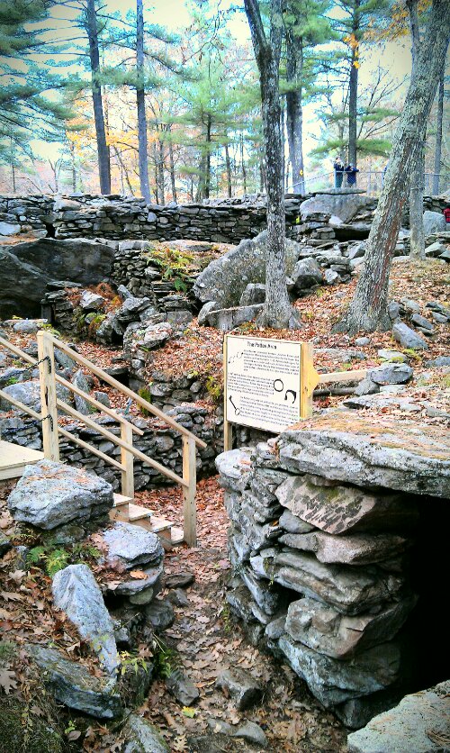
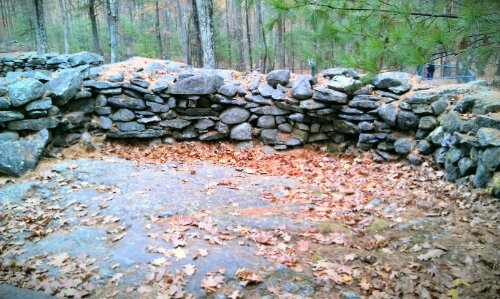
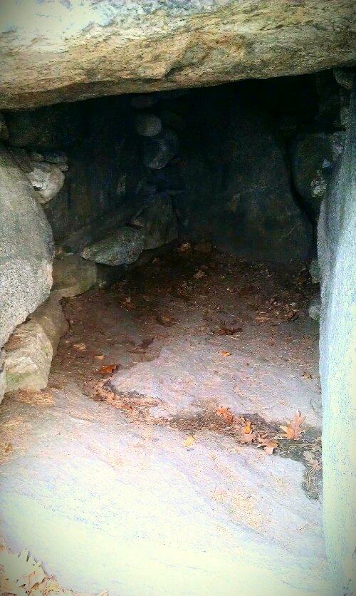
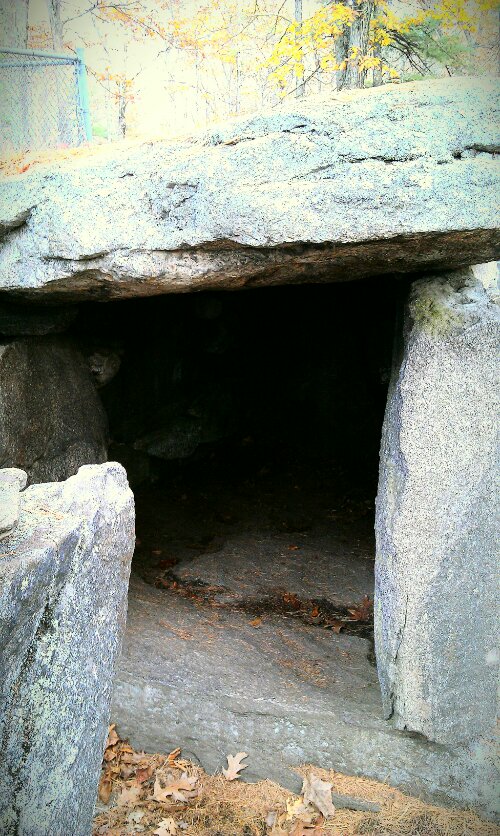
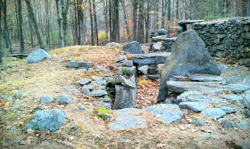
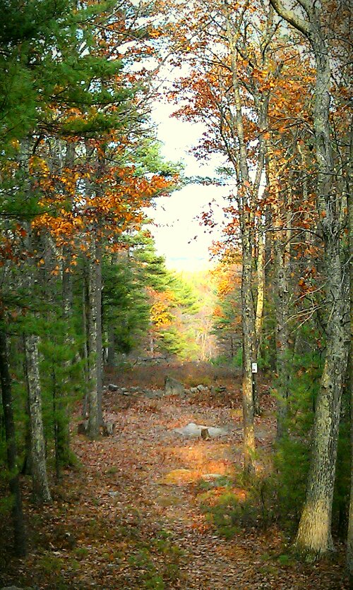
As our walk ended on the Pope Road Nature Trail, we came upon the first site: The Watch House.
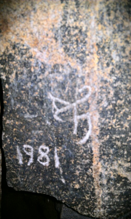
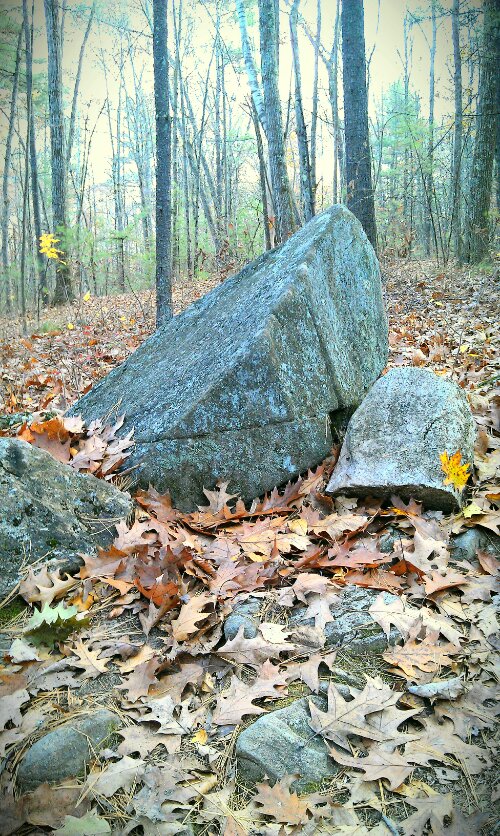
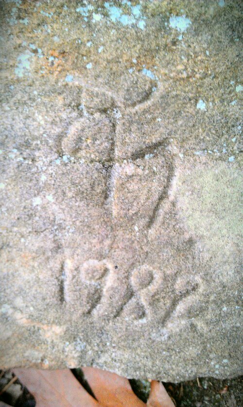
The Watch House is on the February 1st, Imbolc, and November 1st, Samhain alignment. A glacial boulder was used as one side of this chamber. Stone and bone pendants were found during one of the excavations in 1955, 1959, 1969, and 1981. It is called the Watch House to explain its location outside the main site, although it could have been used for other things. There is a Mason trademark symbol placed on one of the stones to denote its restoration in 1978, and dated again in 1981.
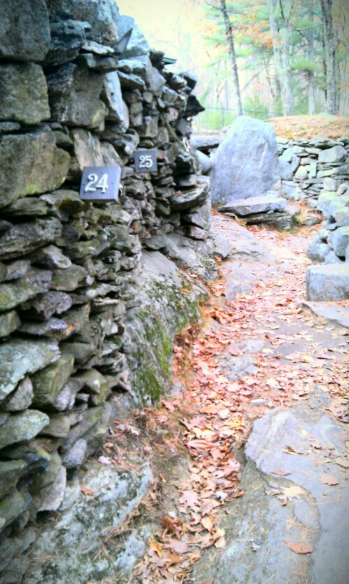
From there we strolled down the double-walled pathway, which leads to the main site. Along this pathway is the Winter Solstice Monolith, which has since fallen.
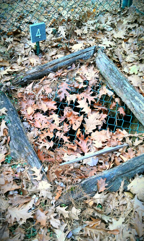
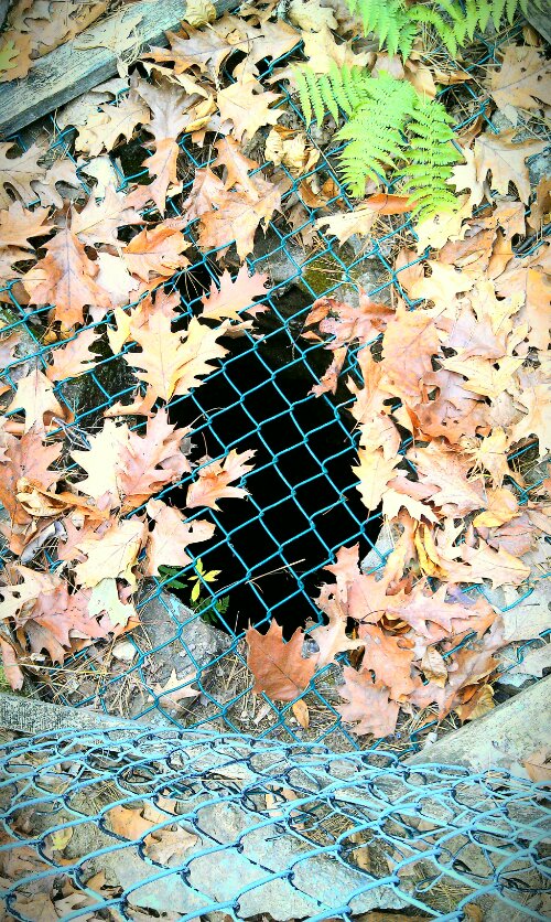
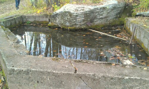
At the end of the pathway are two sites, one being a Lower Well, and the other being a Clay Deposit and Fire Pit. The well has never been excavated due to its water level, so the age is unknown. I say, scuba! Explore! See what is down there! The fire pit was really overgrown and covered with leaves.
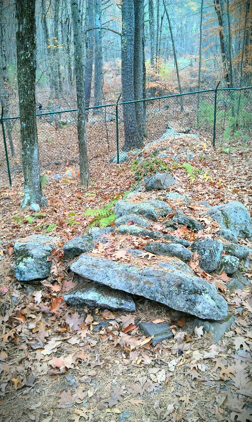
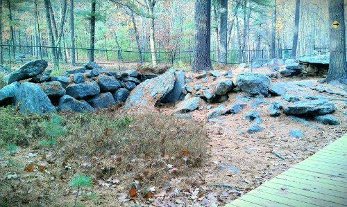
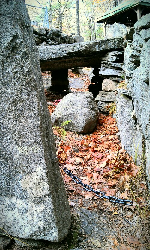
Next was the entrance to the main site. The whole area is surrounded by chain link fence to protect the area, and was erected in 1937 by William B. Goodwin. This saddened me, because you don’t see the Salisbury Stonehenge surrounded by fence because people there respect the land enough to take care of it. However, upon further meditation, it would be a shame for running deer or drunken teenagers to get hurt or to damage the integrity of the site. So, even though it is ugly, it is there for a good reason, I suppose.
Next we came upon the Upper Well, the Well of Crystals. Many quartz crystals were found in this well, which were found to have come from a natural vertical fault in the bedrock 22 feet down.
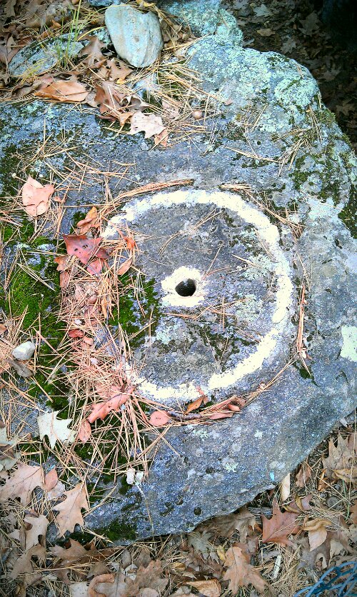
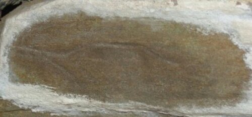
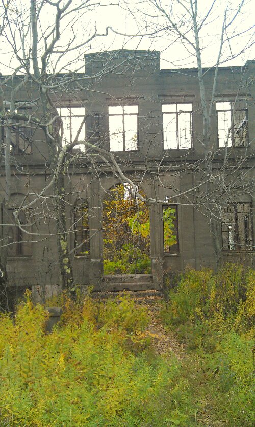
The Pattee Area. Here there was a collection of structural remains of Jonathon Pattee’s house, which was built over the ruins. Oddly and luckily enough, the house burned down, exposing the current remains. The Pattee area is home to also a Carved Circle and Tool Sharpening Groove. Although, it could have also been used as a sundial.
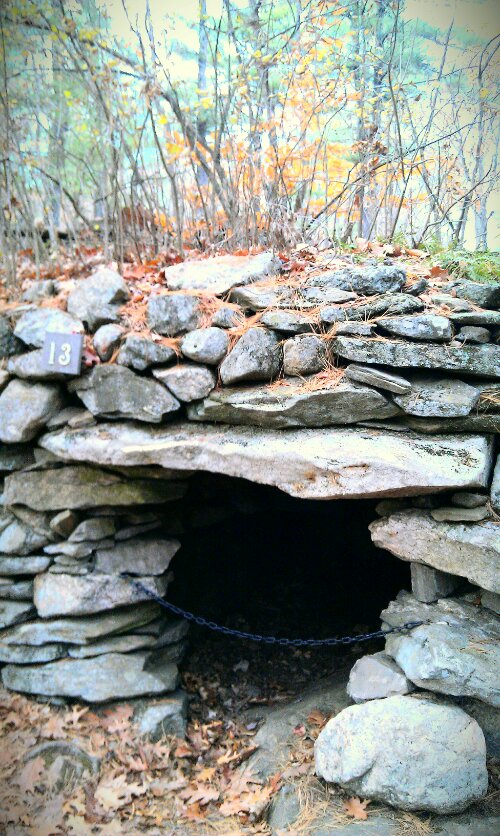
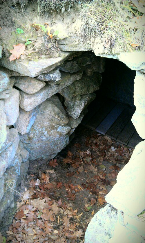
Here at sites 12 and 13, we have the True South Pointing Wall, and the South Facing Chamber. The wall is aligned to a true north-south axis, which leads from the North Stone. The chamber has lilac bushes planted on the roof, thought to have been placed by Mrs. Pattee in the 1800s.
From the lilacs, we walked up the hill towards The Pulpit, 90 Degree Hole, and an unknown Compound remains.
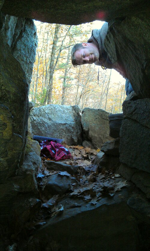
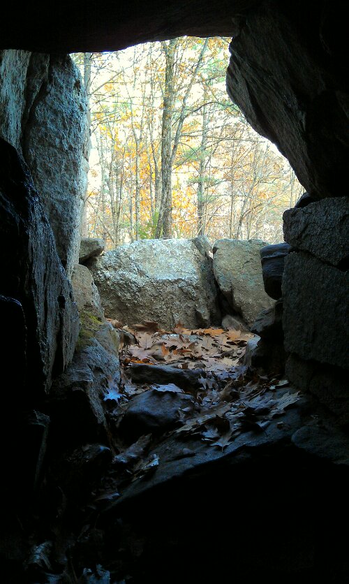
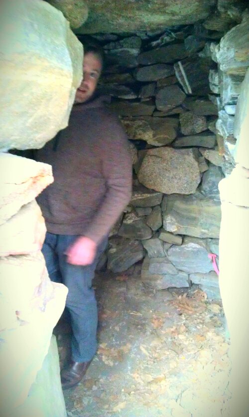
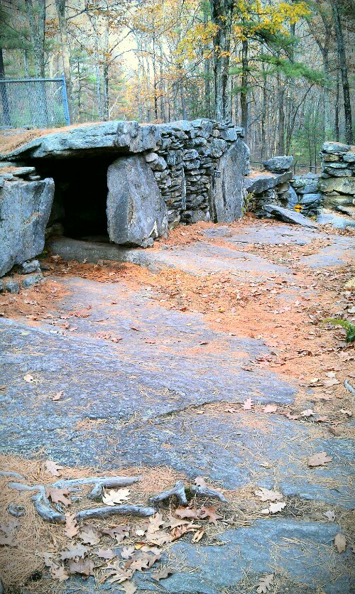
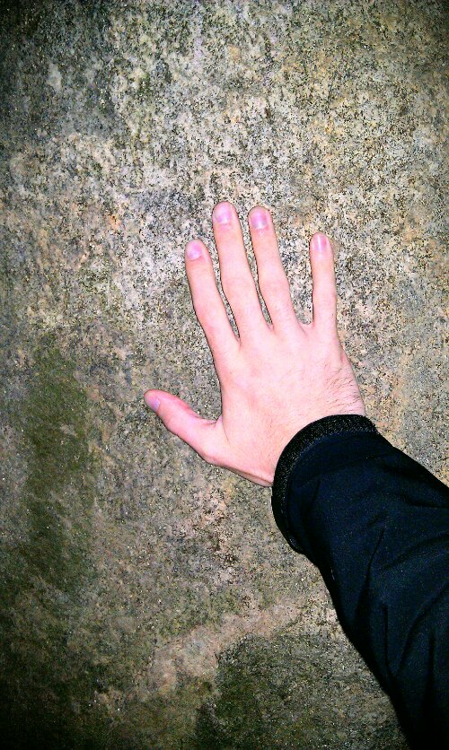
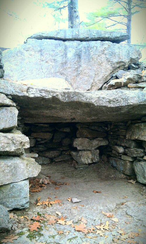
The V Hut, and East-West Chamber. The East-West chamber is three-sectioned, and is similar to ancient European structures. This is the only site with an E-W axis, other than the Oracle Chamber. All the others face south. This may have been a Galley Grave. When I walked into this structure and placed my hand upon the back East wall, all I felt here was security, safety, and warmth. But who knows?
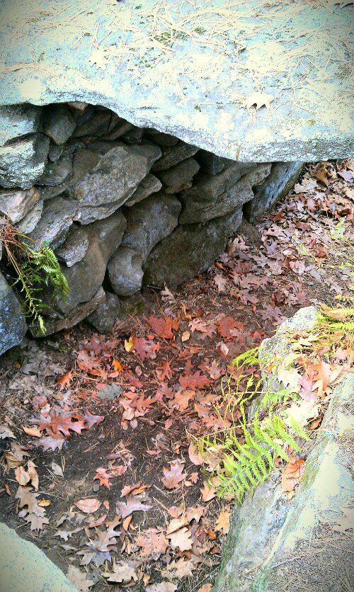
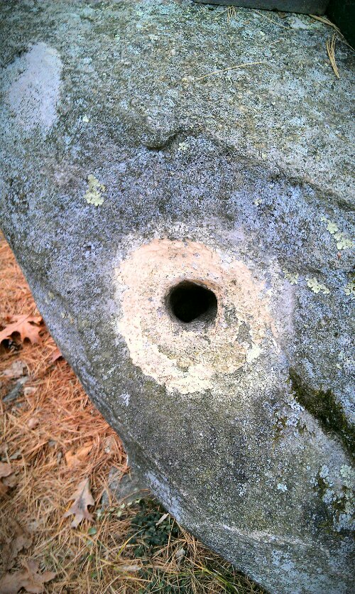
The Mensal Stone. This 6-8 ton slab of bedrock is thought to be a table of sorts with three modern drill holes from quarrymen. I propose that this was some center altar, cooking surface, or home for the little people. The space under it is just big enough for a small one foot fire, or a very short inhabitant.
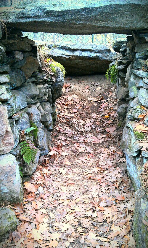
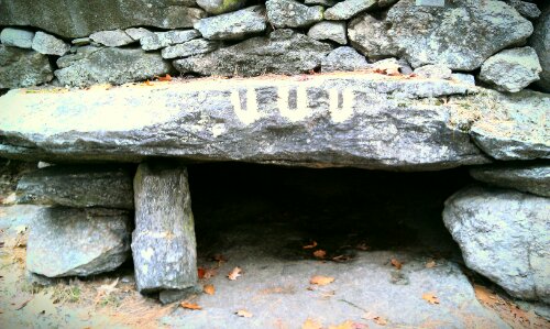
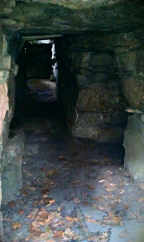
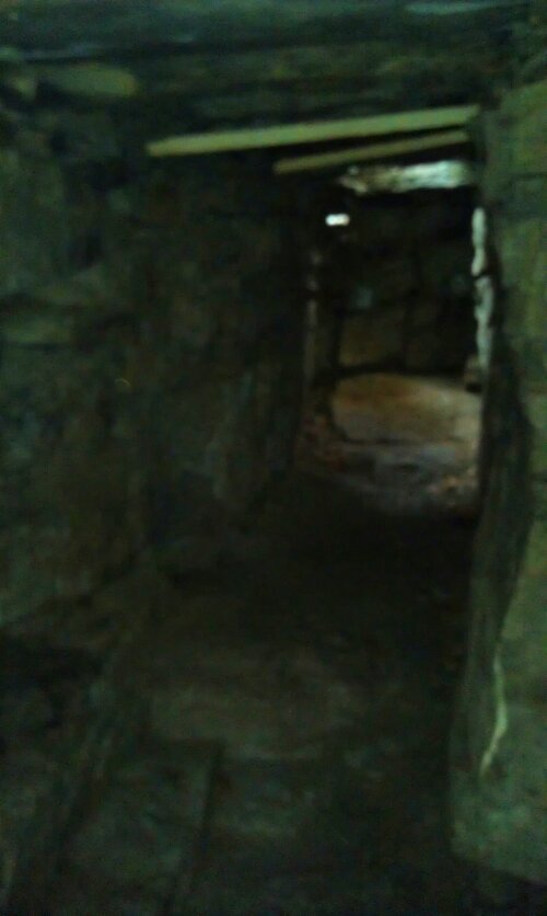
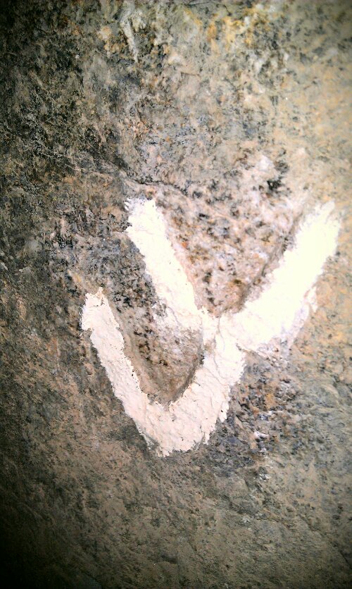
The Pathway to the Oracle Chamber and Sundeck Chamber. There could have been one or two chambers in the past. There are two distinct types of man-made marks toward the end of the left wall. The “V” shaped wedges are marks similar to ancient European sites, and were also used by stone masons before the invention of the steel drill in the early 1800s. Cut-outs in the north end of the wall indicate that other large stone pillars were once standing at the original entrance to the Oracle Chamber.
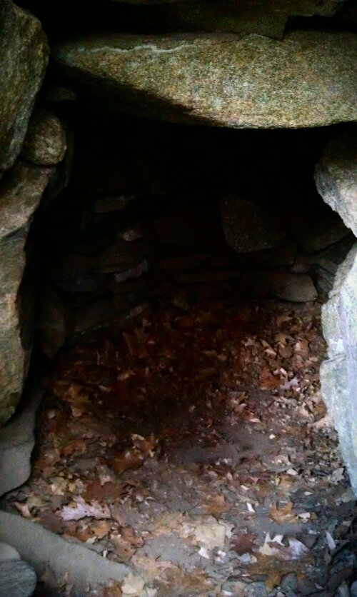
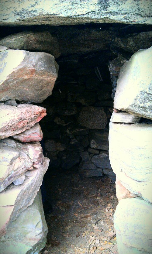
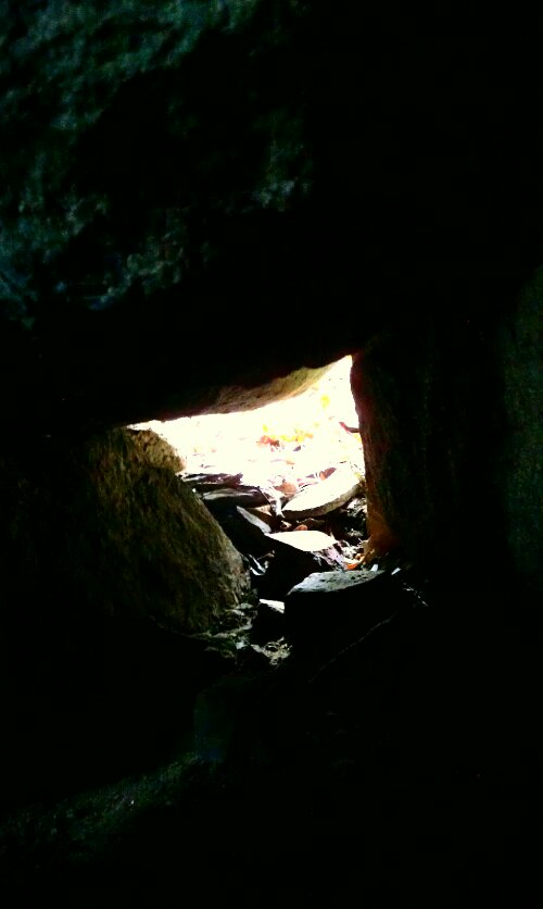
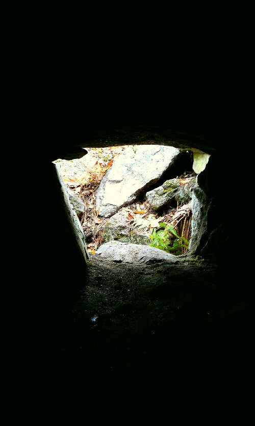
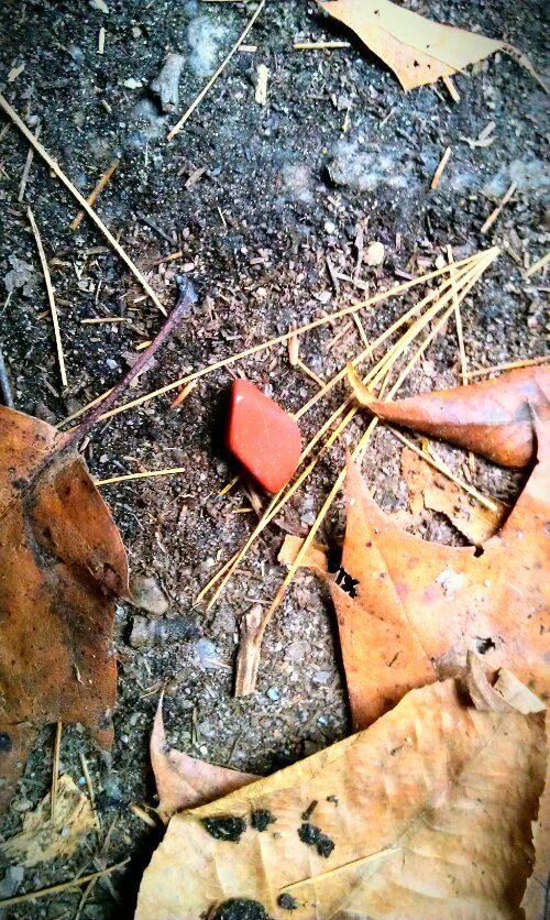
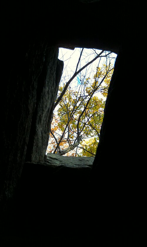
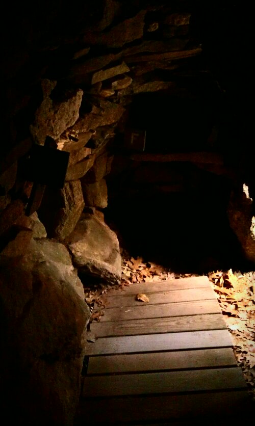
The Oracle Chamber. When we approached the chamber, I found a small piece of red jasper at the entrance. From there, I made my own offering, and we began to step into the dark chamber of the Oracle. Here you can see more “V” petroglyphs, the Secret Bed, Speaking Tube, Roof Opening, Running Deer Carving or Merrimack River Petroglyph, and Exit. I wish we had taken more time in this Chamber, but there was a big group pushing us forward as was the clock. The site closes at 5pm.
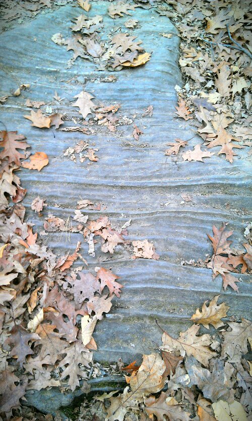
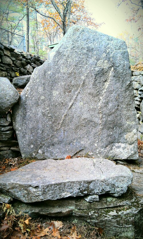
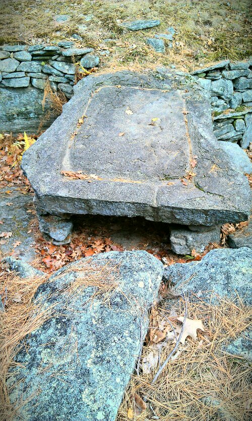
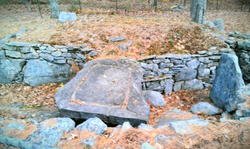
Lastly, in the main site is The “Sacrificial Table.” This is the best viewing point of the whole site. This 4.5 ton grooved slab is one of the most controversial parts of the site. The Speaking Tube from the Oracle Chamber opens just under the Table. Only the land could tell us all of the secrets that lay here.
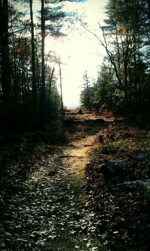
Midwinter Solstice Sun Rise
Path to Midwinter Sunset.
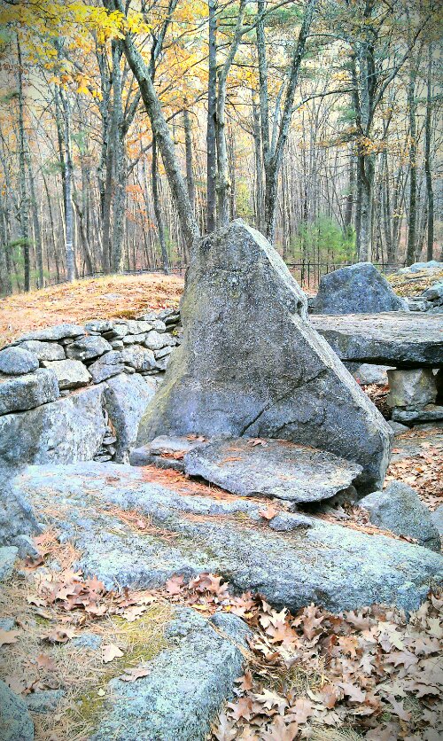
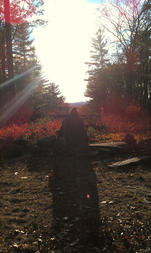
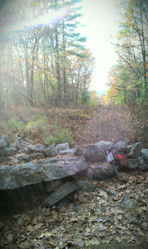
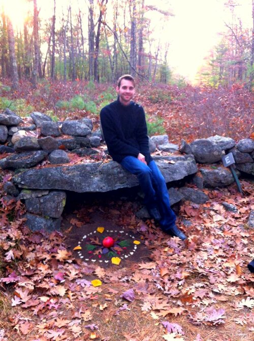
Midwinter Solstice Sunset Monolith. I think I caught a glimpse of someone or something sharing its love for this place. Notice the red orb, and pink half circle at the base of the stone. I got such joy from this spot.
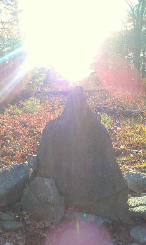
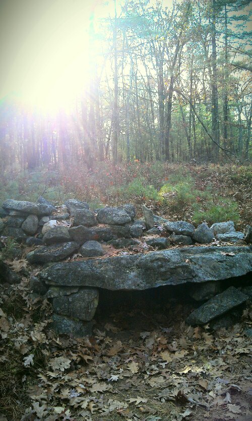
The February 1st, Imbolc Sunset Monolith.
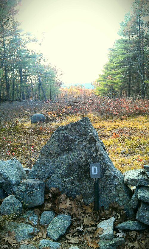
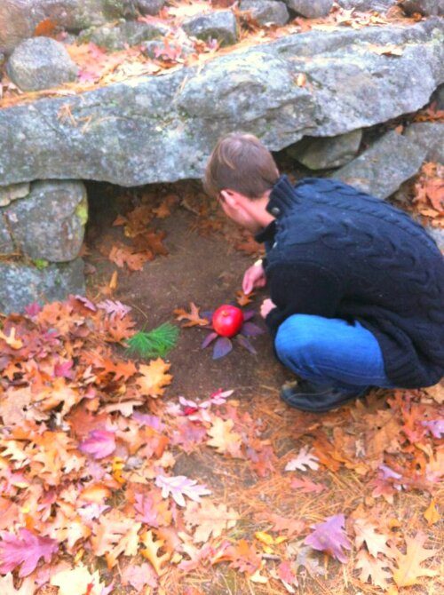
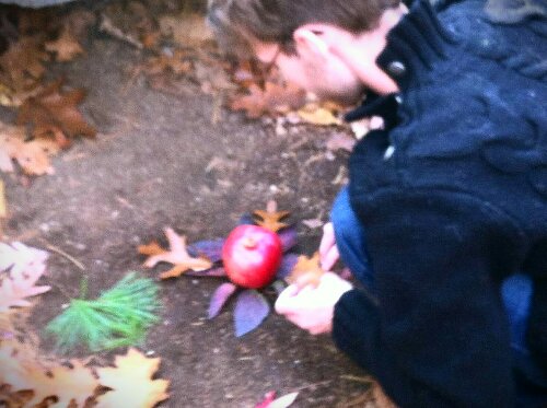
November 1st, Samhain Sunset Monolith. This was were I stopped and gathered myself to pay homage to the sabbat and holiday of our current time of Samhain. I’m not too certain, but I feel there was a presence here that shows itself as both a light pink form with a bright red fae-like manifestation. When I saw these pictures, I was astonished as well as humbled to be looked upon while making my art prayer mandala. Such a place!
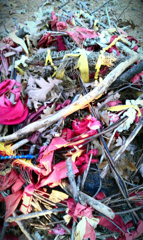
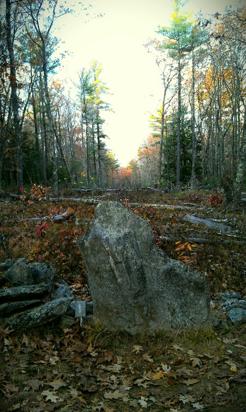
True North Stone, and Gaia Offering Altar. Here we passed in the woods an offering left for someone named T.J. and then stumbled upon the North stone. At this point it was 4:50pm so we had to rush to leave.
Even though we had to rush, and were unable to see everything we wanted. I know that we will return. The land there speaks so closely to me, not only because of the historical ramifications and culture, but because this was also close to the land of my ancestors in Billerica, MA. It felt like a home coming, and I am happy to have left our offerings as well as received blessings in return.
Happy New Year! May yours be as blessed as mine has already been.
Namaste
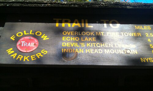
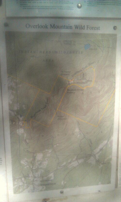
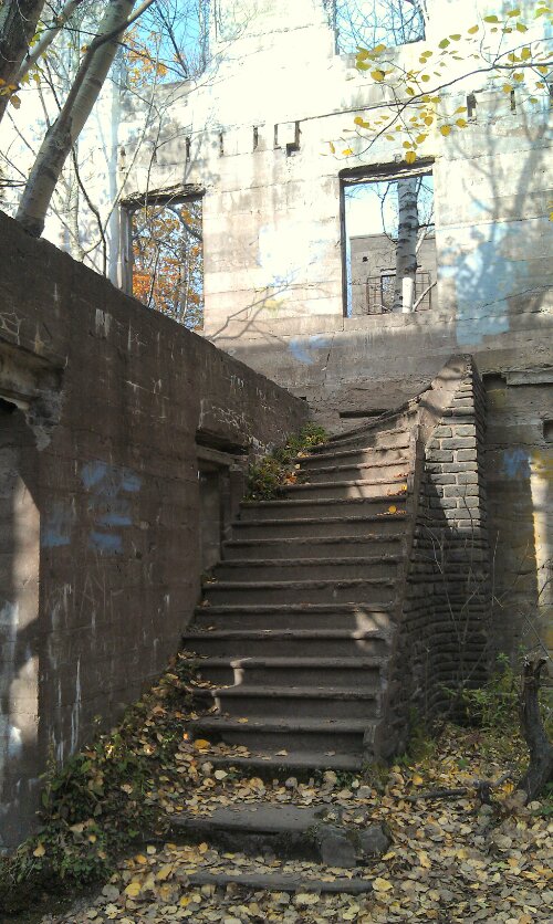
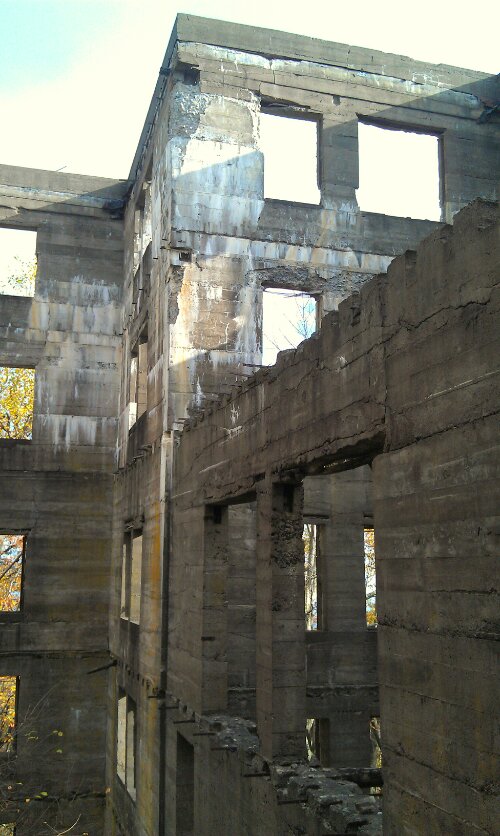
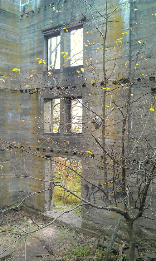
Hiking Meditation: From KTD to Overlook Mt. Summit
| Distance: 9.34 miles round trip from DEC parking lot to Fire Town on Overlook Mtn Peak to Echo Lake and back to the parking lot. This hike can be reduced to 4.82 miles by skipping Echo Lake and the Ledges. 5.00 miles if you include the ledges and skip Echo Lake. |
| Time: Average 7.0 hours round trip |
| Elevation Gain: 1,378’ feet from parking lot to Overlook Mtn Peak – then Descend 1,076 feet to Echo Lake. |
| Best Time to Hike: Anytime. |
| Difficulty: Easy |
| VO Map Trails: 50, 25, 51 |
| Catskill Highest: #70 |
| Peak Elevation: 3,140′ |
| Digital Mapper: Topo Terrain Satellite |
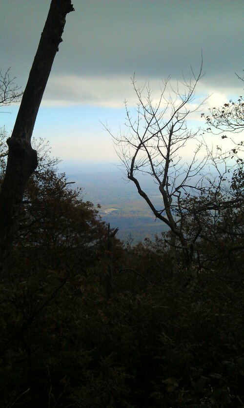
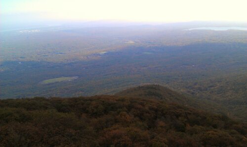
| Attractions: Beautiful views from Fire Tower. |
| Attractions: Easy hike up groomed road to fire tower. |
| Attractions: Pretty view from Echo Lake. |
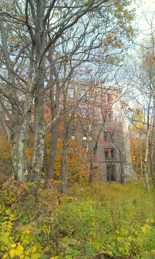
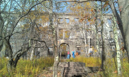
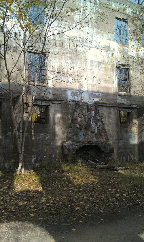
| Unattractions: Hundreds of Timber Rattlesnakes from Hotel ruins to Fire Tower. |
| Unattractions: 2,454′ of climbing. |
| Unattractions: Lots of hikers. |
| Dangers: Timber Rattlesnakes! |
| Common Animals: Rattlesnakes, black bears, Coyotes, chipmunks, birds. |
| Risky Animals: Rattlesnakes (Very High), Bears (Moderate), Mountain Lions (none known) |
| Access Methods: Foot and snowshoe. Very good snowshoe trail. Good cross-country ski trail. |
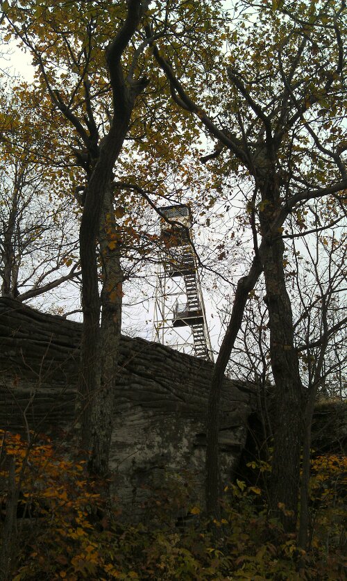
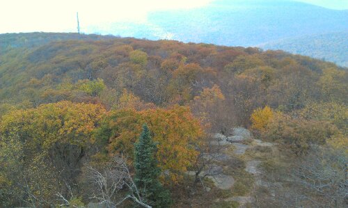
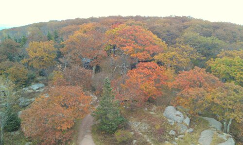
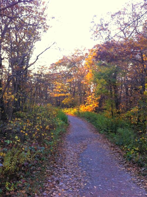
We did not see any Rattlesnakes, however we still did receive Snake Medicine: two Grass Snakes crossed us on the hike up to the Fire Tower.
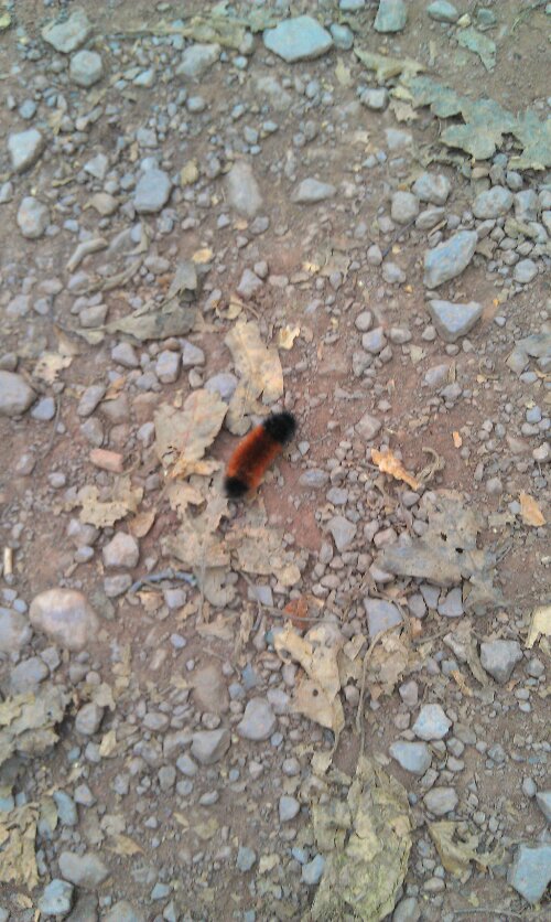
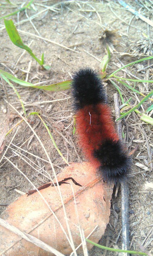
Caterpillar Medicine also was of high volume: 11 Wooly Bears were on the paths, which only means one thing: one heck of a snowy Winter to come!
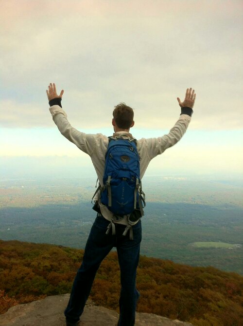
We only made it to the Fire Tower, so next time we will have to do the whole trek, however, it was a blessed day of meditation, reflection, and discovery!
